
- Origin
- Collected automatically
- Source
- Manufacturer page (yellowscan.com)
- Last checked
- 25 Sept 2026
- Report
- Report an error or request removal
8
Products
France
Country
—
Founded
—
Employees
About
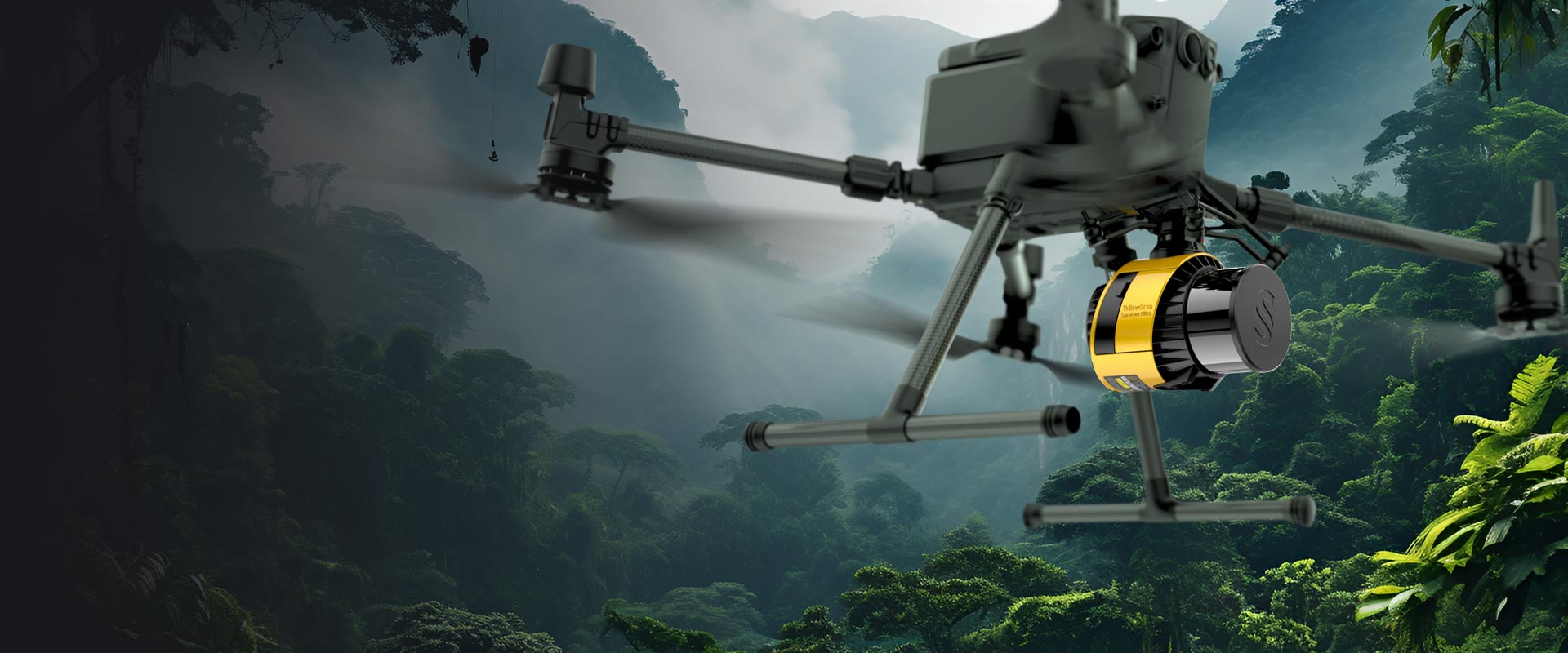
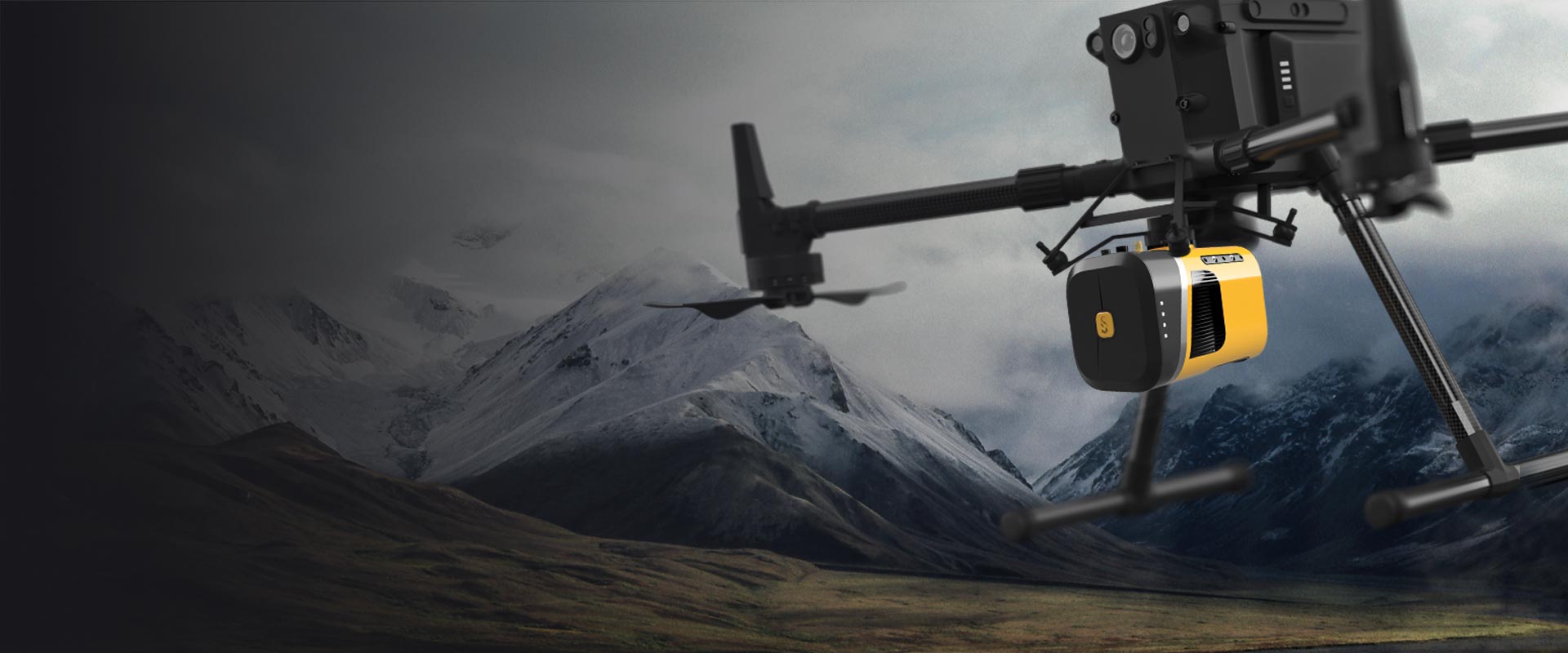
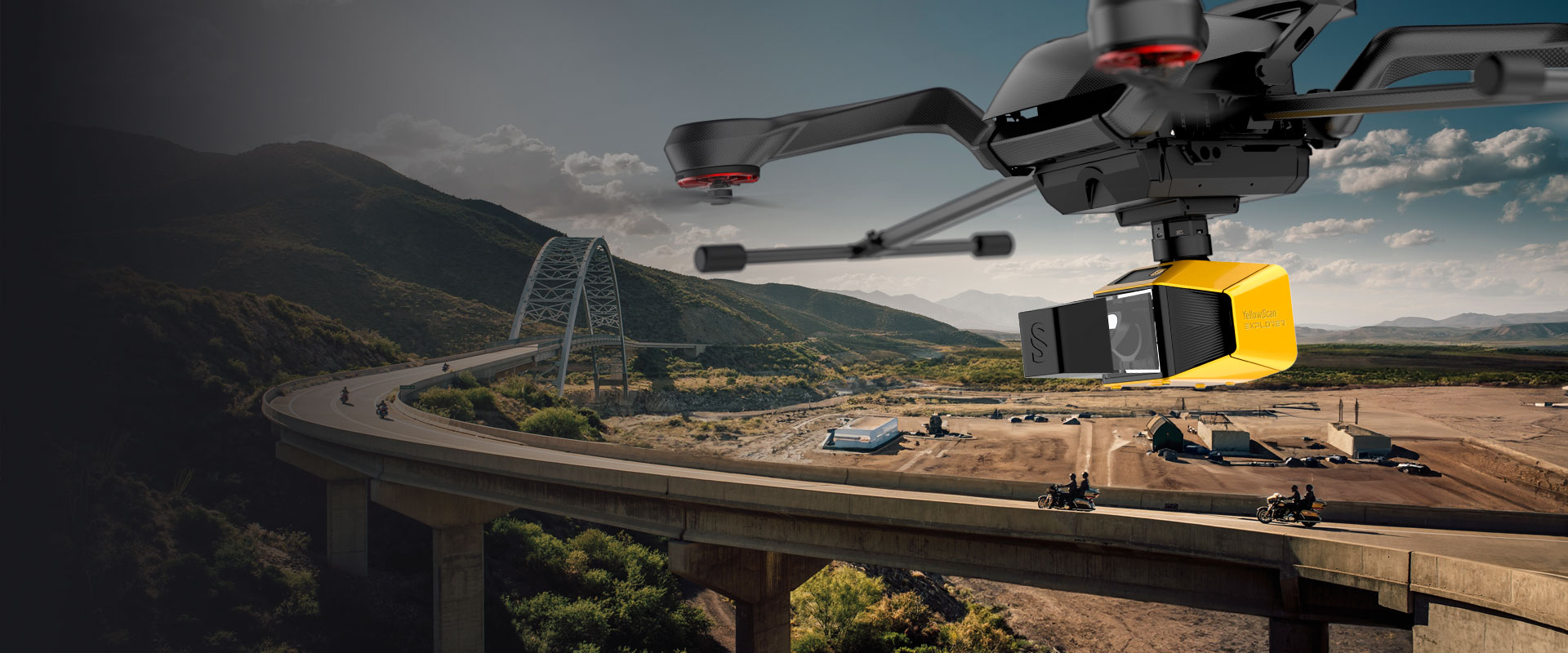
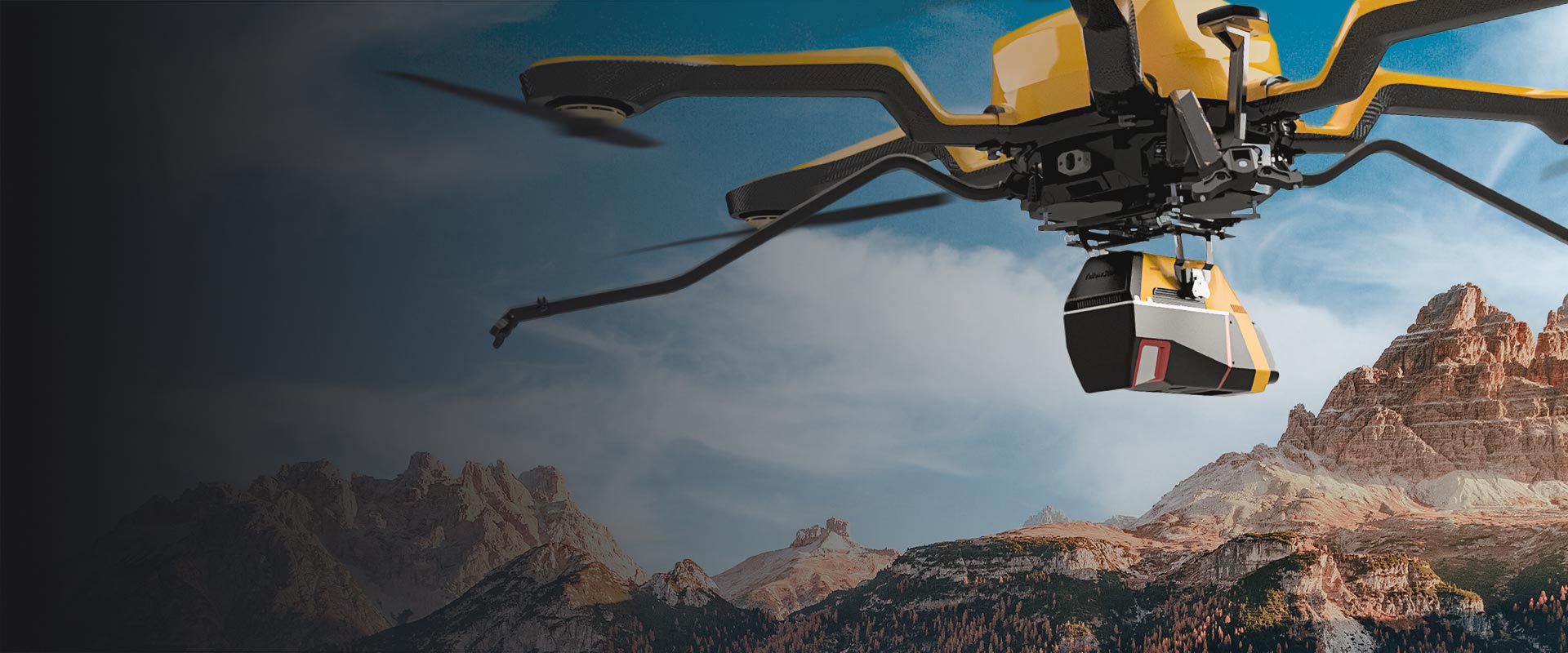
Designs and manufactures UAV LiDAR systems for 3D mapping, providing integrated hardware and software solutions for surveyors, researchers, and geospatial professionals.
Product portfolio
Payload Systems · Multirotor · LiDAR



Customers named by the company
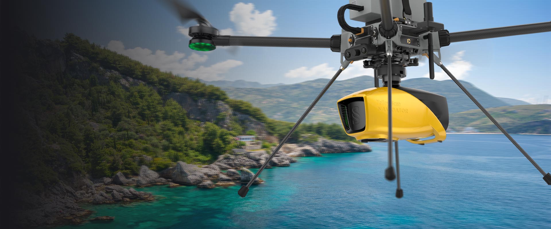
- Datasheet navigator laser scanner
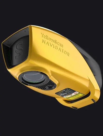
- Datasheet venturer

- Datasheet voyager
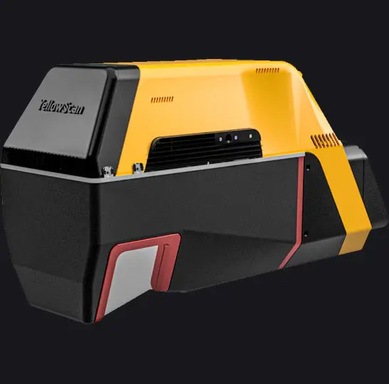
- Datasheet explorer 2023
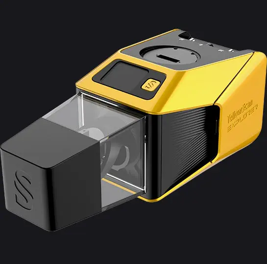
- Flydrive SurveyorUltra 2024

- Datasheet mapper ultra

- Datasheet mapper-2
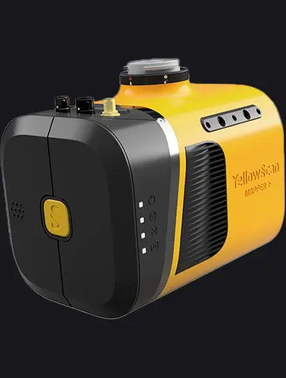
- Datasheet mapper
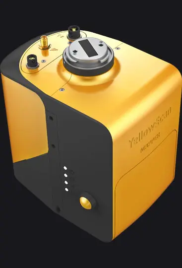
- Datasheet surveyor ultra 2023
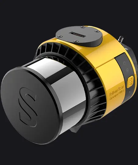
- Knowledge 20260330
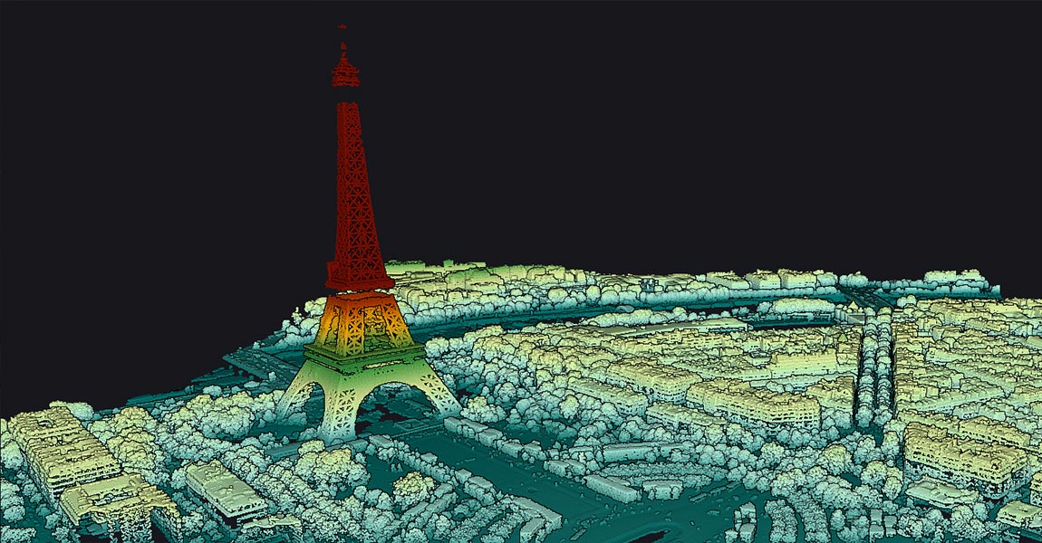
- Knowledge 20260205
- Knowledge 20251122
As published by the company. Names and logos belong to their owners and don't imply endorsement of the company or of DroneGallery.
Case studies
- How to Measure the Eiffel Tower in CloudStation Viewer?
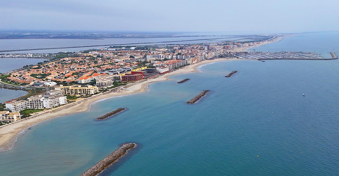
- Lineup Ocean’s SURFREEF Project in Palavas-les-Flots – A First Step
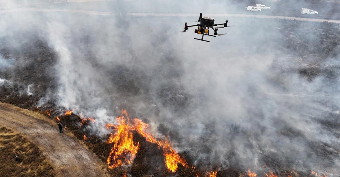
- Quantifying Fuel Consumption in Heathland Fires with UAV LiDAR
- Powerline mapping with drones: basics of clearance and vegetation checks
- Mapping Seagrass Ecosystems in Norway with the YellowScan Navigator LiDAR
- Topo-Bathymetric LiDAR for River Mapping: A Complementary Solution
- How Weather Really Affects LiDAR Performance
- Mapping Artificial Reefs in Coastal Waters with YellowScan Navigator
- Supporting Coastal Erosion Program in Sweden with Bathymetric LiDAR
- Tracking dune and shoreline changes with YellowScan LiDAR
- Bathymetric Surveys Across Romania with YellowScan Navigator
- Understanding Accuracy vs Precision in Information & LiDAR Solutions
- Surprising LiDAR Penetration Capabilities Through Different Surfaces
- LiDAR for Cars: Understanding the Core Technology
- LiDAR Navigation Explained: From Basic Principles to Advanced Applications
- LiDAR Accuracy Standards: What Industry Tests Prove
- Data Processing Explained: From Raw Data to LiDAR Insights
- Shallow Water Bathymetry with UAV & YellowScan Navigator
- Using LiDAR and AI to analyze eucalyptus plantations
- How LiDAR Mapping Uncovered Archeological Ruins
Awards & recognition
- Award by La Lettre MLa Lettre M · 2025
Contact