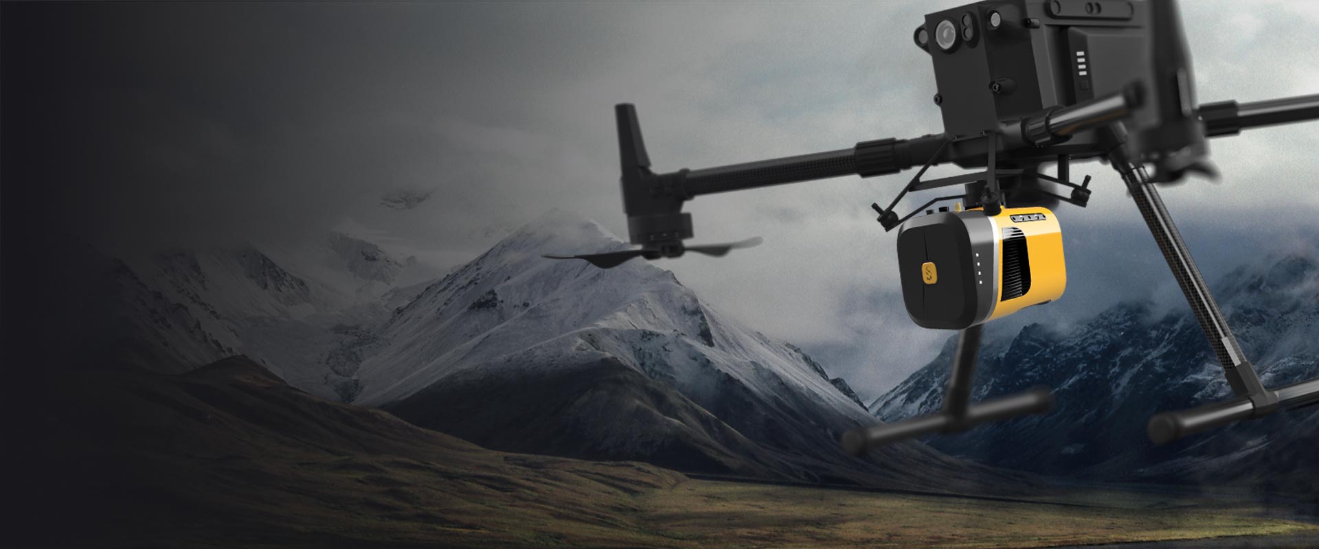
Flux LiDAR
The Flux LiDAR is a lightweight, high‑speed laser scanning system available in H1, O1 and L1 variants for rapid on‑site point‑cloud mapping.
- Price
- Price on request
- Availability
- In production
- Origin
- Collected automatically
- Source
- Manufacturer page (freeflysystems.com) +1 more
- Retrieved
- 25 Sept 2026
- Last checked
- 25 Sept 2026
- Report
- Report an error or request removal
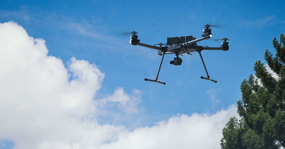
Freefly Systems offers the Flux LiDAR series as an efficient solution that pairs with Astro and Alta X drones. The system uses up to 128 laser channels, delivers sub‑5 cm accuracy over ranges of up to 450 m, and stores data on a USB‑C flash drive for instant processing on iPads. Three sensor options – FLUX H1 (32 lasers), FLUX O1 (128 lasers) and FLUX L1 (6 lasers) – allow users to choose between professional‑grade performance, medium range capability or entry‑level speed.
Performance
- Range
- 0.4km
Source
- Source
- Manufacturer page
- Retrieved
- 25 Sept 2026
- Last reviewed
- 25 Sept 2026
- Confidence
- Medium · 80%
Collected automatically from the source; not reviewed yet.
Physical
- Weight
- 0.7kg
Source
- Source
- Manufacturer page
- Retrieved
- 25 Sept 2026
- Last reviewed
- 25 Sept 2026
- Confidence
- Medium · 80%
Collected automatically from the source; not reviewed yet.
Payload
- Sensor
- Flux L1
Source
- Source
- Manufacturer page
- Retrieved
- 25 Sept 2026
- Last reviewed
- 25 Sept 2026
- Confidence
- Medium · 85%
Collected automatically from the source; not reviewed yet.
Compliance/certification
- NDAA compliant
- Yes
Source
- Source
- Manufacturer page
- Retrieved
- 25 Sept 2026
- Last reviewed
- 25 Sept 2026
- Confidence
- High · 90%
Collected automatically from the source; not reviewed yet.
POWER LINES - FLUX O1
- Flight height
- 90m altitude
- Flight speed
- 4.5 m/s
- Point Density
- 986 pts/m^2
- Processing time
- 4m26s (3.25x realtime) on an iPad Pro M3 while in the field
- Sensor
- Flux O1
- Points Count
- 206 Million points
FOREST + ROAD - FLUX O1
- Point count
- 271 million points
FOREST + ROAD - FLUX L1
- Coordinate system
- EPSG:2273 + EPSG:8228
General
- Channels
- 128
- Accuracy
- 3-5 cm
FLUX L1 – Forest + Road
- Flight time (example)
- 22m22s
Values are normalised to SI-style units. Open a value's source marker for provenance and confidence. Additional specifications are shown as published by the source, without unit conversion. Spotted an error? Report it to us, tell the manufacturer or claim this listing.
- Software & SDKs
- Apple iPad App
Ask Freefly Systems about Flux LiDAR